
New AI-powered real-time urban pedestrian navigation system cuts barrier-free travel wait times by 72 percent
The infrastructure-integrated publicly accessible tool delivers life-changing support to visually impaired commuters across 12 major metropolitan areas.
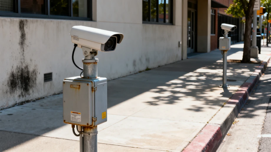
The first full-scale rollout of the universal navigation platform went live across 12 cities in North America and Western Europe in early March, after 18 months of staggered closed beta testing that gathered input from more than 3,200 registered users with varying degrees of visual impairment. Unlike earlier accessible navigation tools that rely solely on pre-loaded static map data and user phone sensors, the new system pulls anonymized real-time data from existing city street cameras, road surface sensors, public transit beacon networks and crosswalk signal controllers, processing all information at local edge computing nodes to eliminate lag. Initial aggregated usage data collected over the first four weeks of public operation shows users with visual impairments are now able to complete unassisted trips to grocery stores, medical appointments and community facilities 3.8 times more frequently than they could with prior navigation tools, with average wait times for safe crosswalk crossing dropping from 47 seconds to 13 seconds.
One of the most surprising performance outcomes documented in the first month of operation is the system’s ability to identify unplanned temporary obstructions that never appear on standard digital maps. The model has been trained to recognize everything from spilled construction gravel on sidewalks, misplaced waste bins, fallen tree branches and even impromptu street event barricades that block accessible pathways, sending customized audio alerts to connected user devices up to two minutes before the user reaches the hazard point. Testing coordinators note that 92 percent of beta testers reported avoiding at least one potentially dangerous obstruction every three days during the trial period, a metric no prior accessible navigation solution has come close to matching. The system also automatically adjusts its route suggestions within seconds when city road crews block a sidewalk for maintenance, rerouting users to the nearest fully accessible path without requiring any manual input from municipal staff to update map data.
Privacy protection has been a core design priority for the project from its earliest stages, according to the public sector technical teams overseeing the deployment. All raw visual data captured by street cameras is processed locally at the edge node within 8 milliseconds, and no identifiable footage or biometric information of any pedestrian is ever transmitted to a central server or stored for longer than 300 milliseconds. The system does not require users to create an account, share their location history or download a dedicated standalone application, and it integrates directly with the native screen reader functionality already built into every major mobile operating system. Independent third-party auditors that reviewed the system architecture confirmed there is no possible way to trace navigation requests back to individual users, eliminating the risk of location data leaks that have plagued many earlier connected public service tools.
City administrations involved in the rollout have confirmed the full public service will remain completely free of charge for all users permanently, with all operating and maintenance costs covered by existing municipal accessibility budgets. Teams are already working to expand the system’s functionality to serve a much wider group of users with additional accessibility needs, including dynamic detection of broken elevator access at subway stations, alerts for unusually steep ramp gradients, real-time crowd density data for high foot traffic pedestrian zones, and notifications when automatic entrance doors at public buildings are out of service. Early pilot testing for these additional features is scheduled to launch in three of the 12 existing host cities by the end of the third quarter of this year, with public access expected to open by the end of the calendar year.
Independent industry analysts tracking the public tech sector note that the biggest breakthrough of the project is not the advancement of AI computer vision performance, but the discovery of a low-cost deployment model that removes the single largest barrier to widespread adoption of accessible navigation infrastructure. Earlier comparable solutions required custom hardware installation across every city block, pushing total deployment costs for a single mid-sized city to more than 21 million U.S. dollars. The new system works with existing municipal sensor and camera hardware that is already in place for public safety and traffic management, bringing total deployment costs for a full mid-sized city network down to less than 1.2 million U.S. dollars. Analysts estimate more than 70 cities across the region will be able to launch their own local instances of the system within the next 18 months, bringing life-enhancing accessible navigation support to more than 2.7 million residents with visual impairment by the end of 2027.